WASHINGTON, Aug 26 (NNN-AGENCIES) — Storm Laura was upgraded to a hurricane and is forecast to make landfall along the Texas or Louisiana coasts on Wednesday night, US meteorologists said.
“Laura has become a hurricane with maximum sustained winds of 75 mph (120 km/h), with higher gusts,” the US National Hurricane Center said.
“Significant strengthening is forecast during the next 48 hours, and Laura is expected to be a major hurricane at landfall,” it added.
“Now that #Laura’s eye is forming, there’s just not a lot of doubt that this will be a large and extremely dangerous hurricane for eastern Texas and Louisiana,” National Hurricane Center Senior Hurricane Specialist Eric Blake tweeted.
“It is sobering to watch… please be smart if you are in the path.”
Laura currently has maximum sustained winds of 85 mph, according to a NHC bulletin, and is forecast to intensify into a major Category 3 storm or higher over the next day or so, with winds potentially reaching 115 mph.
The center of the storm is located 465 miles from Galveston, Texas, and it’s moving at a rapid clip of 17 mph.
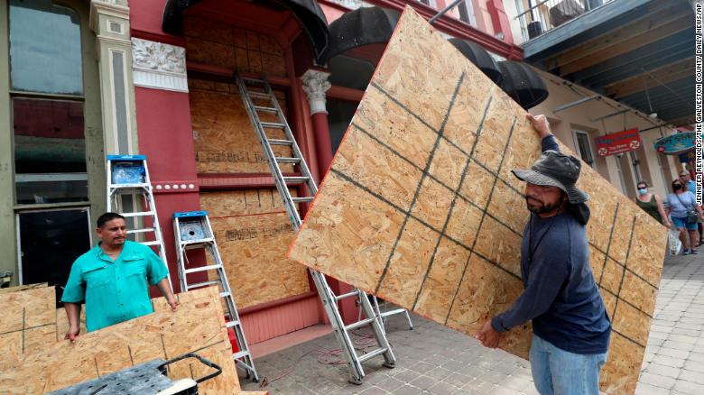
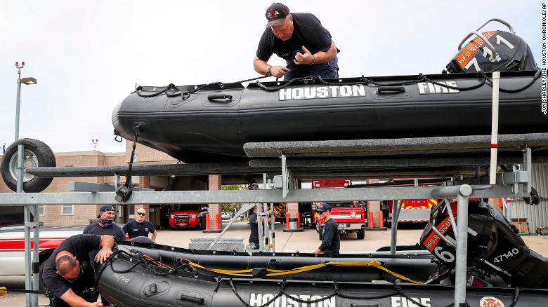
A hurricane warning has been issued for portions of the Texas and Louisiana coastline, according to the National Hurricane Center. The warning, an upgrade from the earlier hurricane watch, stretches from San Luis Pass, Texas, through Intracoastal City, Louisiana.The warning includes Galveston and Galveston Bay, as well as portions of the Houston metro area.
The NHC warned that Laura is expected to produce 4 to 8 inches of rain from Wednesday night into Saturday, with isolated maximum amounts of 12 inches across parts of the Gulf Coast. This could cause widespread flash and urban flooding, the NHC said.
Laura’s impending arrival comes as the Gulf Coast avoided a powerful storm in Marco, which significantly weakened before reaching the US.
As a Tropical Storm, Laura killed at least nine people in the Caribbean. When it makes landfall in the US, it could bring storm surge of 9-11 feet along portions of the coast, the NWS said, and the surge could “could penetrate up to 30 miles inland,” in southwestern Louisiana and far southeastern Texas.

The threat from Laura has already sparked evacuations in parts of Texas and Louisiana. Galveston issued a mandatory evacuation order for all residents, citing the storm’s strength and uncertain path, according to a post on the city website.
“We went through Ike in 2008. We learned a lesson,” Galveston Mayor Pro Tem Craig Brown said, “and a lot of people don’t want to repeat on that, so many of our residents are heeding the warning, and we have provided transportation for those that need assistance, also.”
An estimate 20,000 residents remained in Galveston during Hurricane Ike, which devastated large parts of the island.
Mandatory evacuation orders have been issued in a number of coastal counties in Texas, including Jefferson County, Jasper County and Hardin County, officials said.
A mandatory evacuation was also announced for Calcasieu Parish in southwest Louisiana, and non-essential personnel are being ordered to leave the parish.Voluntary evacuations were issued for parts of Houston Tuesday.

With Marco no longer posing an impending threat, Louisiana Gov. John Bel Edwards said all eyes are now on Laura. His big concern was large amounts of rainfall and river flooding.”There will be storm surge impact, there will be wind impact, there will be rain impact,” the governor said.
At least nine people have died in the Caribbean, including several in the Dominican Republic and Haiti, due to Laura.
The victims include a 7-year-old boy who died along with his mother after a wall collapsed in their home in the Dominican Republic. Another person died after a tree fell on a house.
Dominican Republic President Luis Abinader said an army corporal was killed while helping with rescue efforts in Pedernales province.
Five people were killed in Haiti, including a 10-year-old girl, the country’s civil protection agency said. — NNN-AGENCIES
