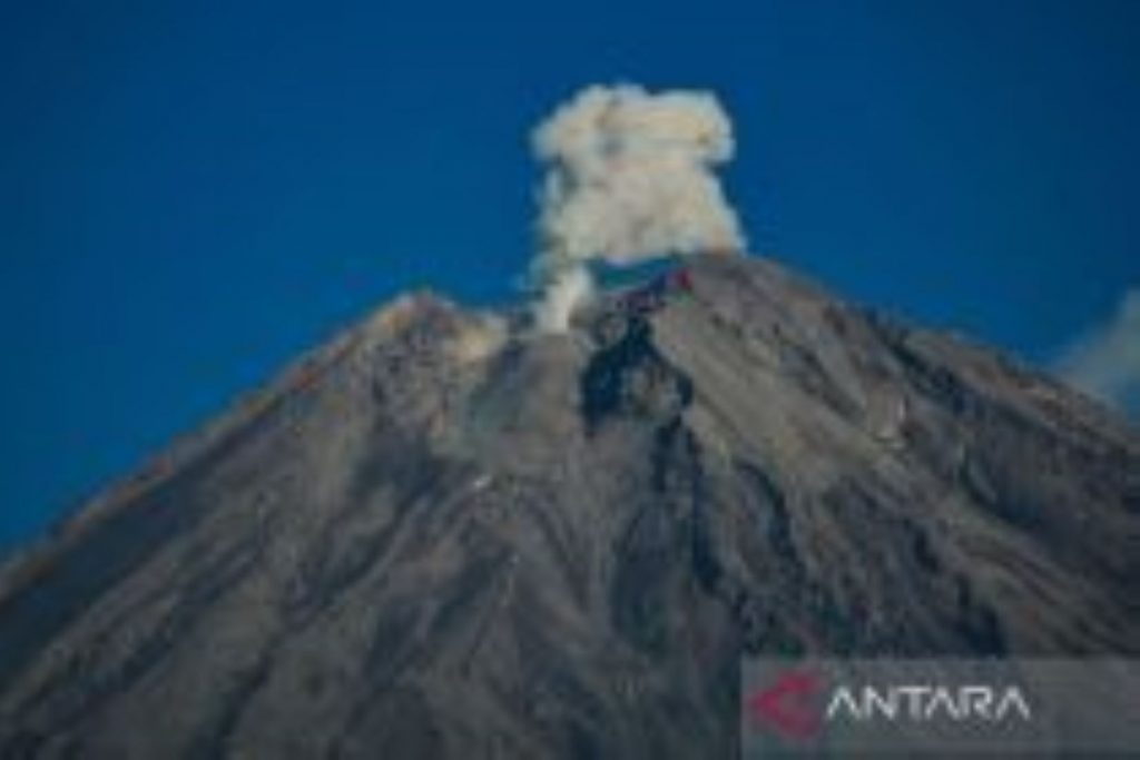
LUMAJANG (EAST JAVA), April 14 (ANTARA) – Mount Semeru in East Java erupted Tuesday morning, sending pyroclastic flows up to 3 kilometers.
“An eruption occurred at 5:22 a.m. local time, with an ash column rising around 1,500 meters above the peak, or 5,176 meters above sea level,” Mount Semeru Observation Post officer Sigit Rian Alfian said in a statement.
A thick gray ash column drifted westward. The eruption was recorded on a seismograph with a maximum amplitude of 20 mm and lasted three minutes and 23 seconds.
“The eruption was accompanied by pyroclastic flows traveling three kilometers toward the southeast, or the Besuk Kobokan area,” he said.
The flows did not reach residential areas as the affected zone is designated a red zone. Authorities set a safe radius of 13 kilometers from the summit.
The volcano, located on the border of Lumajang and Malang districts, erupted again at 6:03 a.m., sending an ash column about 1,000 meters above the peak, or 4,676 meters above sea level.
A thick white-to-gray ash column drifted southwest. The eruption was recorded on a seismograph with a maximum amplitude of 22 mm and lasted 135 seconds.
Alfian said Mount Semeru remains at Level III (Alert). Residents are prohibited from activities in the southeastern sector along Besuk Kobokan within a 13-kilometer radius.
Beyond that, residents are advised to stay at least 500 meters from riverbanks along Besuk Kobokan due to the risk of pyroclastic flows and lahars reaching up to 17 kilometers.
The public is also banned from activities within a 5-kilometer radius of the crater due to the risk of ejected incandescent materials.
He warned of potential pyroclastic flows, lava avalanches, and lahars along rivers originating from the summit, including Besuk Kobokan, Besuk Bang, Besuk Kembar, and Besuk Sat.
— NNN-ANTARA