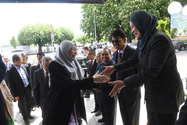
By Norsyafawati Ab Wahab
BEIJING, July 10 (NNN-BERNAMA)– Malaysia can benefit from China’s expertise in hot spot mapping using satellite technology for better disaster preparedness and management, say Malaysia’s Deputy Prime Minister Datuk Seri Wan Azizah Wan Ismail.
She said Malaysia’s National Disaster Management Agency (NADMA) and the National Security Council would find the expertise useful in preparing for and handling natural and industrial disasters.
Dr Wan Azizah , who is on a four-day working visit to China from Monday, said efforts would be taken to get China’s National Disaster Management Centre’s cooperation on the matter.
“The efforts are in motion and an agreement will be signed by both countries soon. NADMA director-general Datuk Mohtar Mohd Abd Rahman will follow up on this,” she told Malaysian journalists covering her visit here Wednesday.
Earlier, Dr Wan Azizah had made a visit to the centre to find out more on how the Chinese government utilises the latest technologies to predict, prepare for and handle disasters.
The Deputy Prime Minister said China, compared with Malaysia, is better prepared with its use of big data and simulation exerciseS, to face disasters.
“We have the Meteorology Department, but we also want to forecasts on high-risk disaster areas.
“In China, they have big data which can be used to analyse and make early predictions ..this is what we lack,” she added.
Dr Wan Azizah , who is also NADMA)chairman, in a statement yesterday had said Malaysia and China have agreed to share best practices, exchange visits between officers, conduct joint training and share knowledge in disaster management.
She said the agreement was reached during her meeting with National Advisor Wang Yongwho is responsible for disaster management in China.
Wan Azizah said although Malaysia has the technology and skills in remote sensing and geo-sensing , the information obtained could not be used due to poor coordination among the relevant agencies and constraints in jurisdiction between the federal and state governments.
–NNN-BERNAMA


