CANBERRA, Mac 25 (NNN-AAP) – Australian mapping technology has arrived on the International Space Station (ISS), to create detailed three-dimensional maps of the orbiting laboratory.
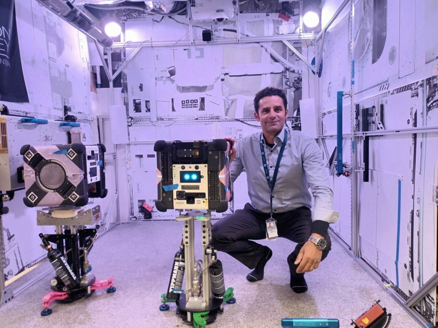
National science agency, the Commonwealth Scientific and Industrial Research Organisation (CSIRO), today revealed that a powerful package of its mapping technology has reached the ISS, where it will be fitted to a roaming robot system.
CSIRO Research Group Leader, Marc Elmouttie, said that, the team behind the technology is hoping to make life easier for astronauts, by creating 3D maps of the ISS in greater detail than has ever been achieved before.
“The goal for this mission is to demonstrate that our technology can provide enhanced 3D sensing and mapping for robotics systems on spacecraft, which may in future, perform autonomous caretaker operations on spacecraft,” he said in a media release.
The device, which was developed in partnership with Boeing, the ISS National Laboratory and NASA, combines two CSIRO technologies to produce high-quality data about the surrounding environment.
By conducting full 3D internal scans, Elmouttie said, the device can track the movement of inventory in the station, helping astronauts and mission controllers plan activities.
If the scanning of the ISS proves successful the CSIRO plans to develop the technology for other applications in space, including environments that are not fully crewed and potential lunar surface exploration.
“This is really a jumping-off point for us. Once we’ve confirmed this type of payload can do the job, then the sky’s the limit,” Elmouttie said.
The device was sent into orbit on board a SpaceX resupply mission, that was launched from the Cape Canaveral Space Force Station in Florida, on Thursday, local time.– NNN-AAP


