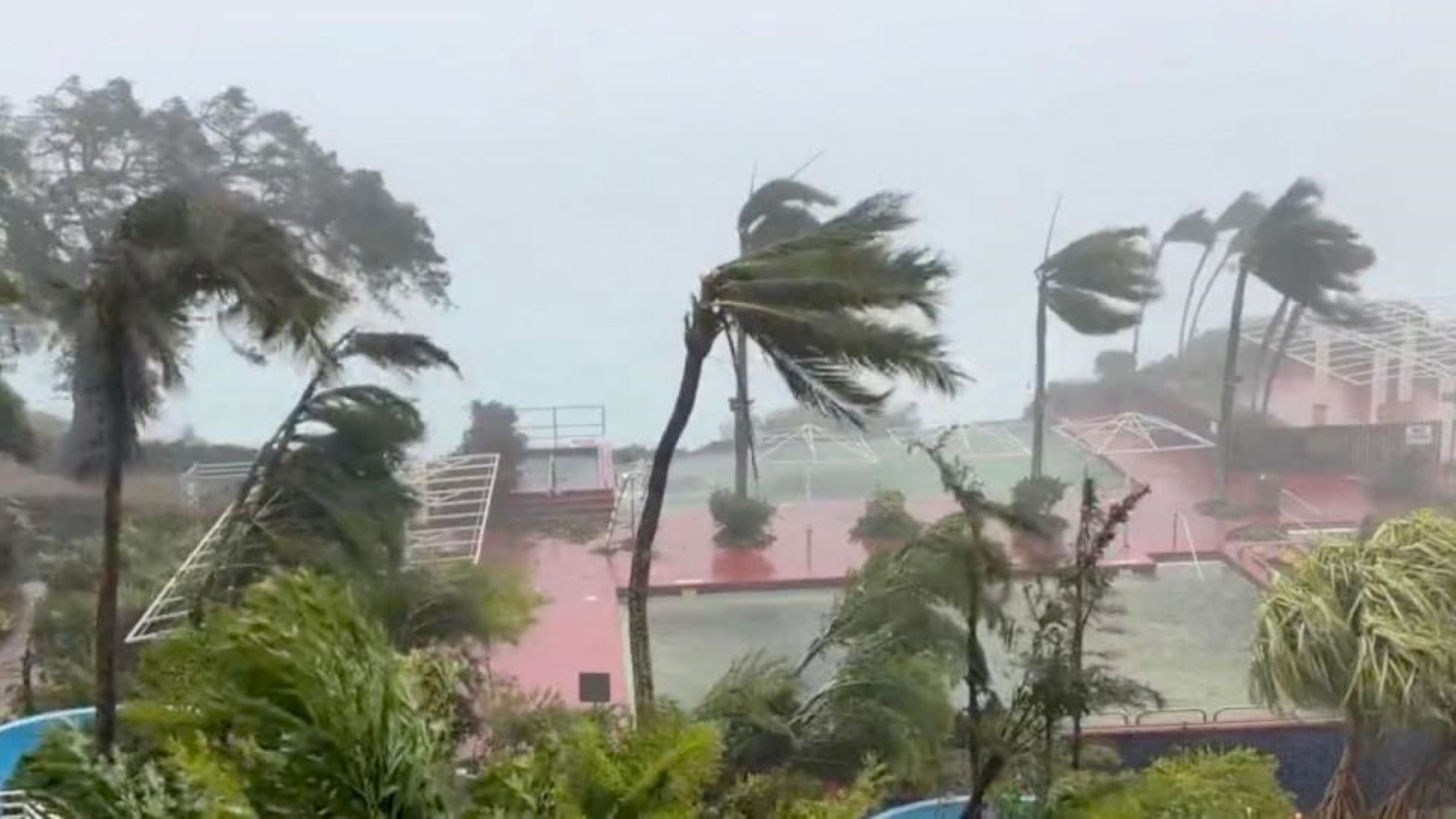
MANILA, May 29 (NNN-PNA) – Typhoon Mawar slightly weakened, as it moved towards the Philippines, but heavy rain will still threaten some parts of the country in the next three days, the state weather bureau warned.
In its latest advisory, the Philippine Atmospheric, Geophysical and Astronomical Services Administration said, Mawar will dump rain in the provinces on the northern Luzon Island and the central Philippine regions.
The bureau said, Mawar will also enhance the south-west monsoon, dumping rain in some Luzon and central Philippines areas that could trigger flooding and landslides.
The south-west monsoon may also bring occasional gusts, reaching nearly gale strength until today, in many areas in Luzon, central and southern Philippines, the bureau added.
Mawar was spotted 630 km east of Luzon Island yesterday afternoon, blowing north-westward at 15 km per hour, packing 165 km per hour winds, and gusts of up to 205 km per hour, the weather bureau said.
Diego Mariano, chief of the Office of Civil Defence Joint Monitoring Centre, said that, some areas have started preemptive evacuation of people, in flood-prone areas in Luzon and the central Philippines.
According to the weather bureau, the typhoon will weaken gradually and likely become slow-moving to almost stationary by tomorrow, while over the waters east of Batanes, the northernmost province of the Philippines, before moving northward or north-north-eastward by mid-Wednesday.– NNN-PNA


