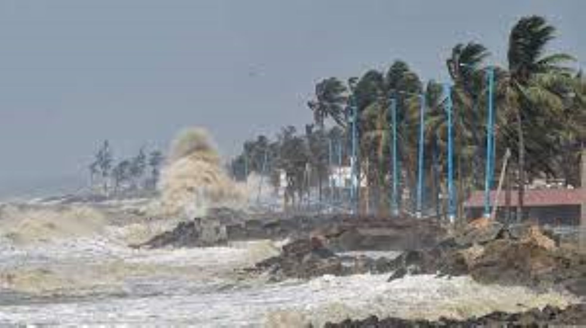
NEW DELHI, May 10 (NNN-PTI) – The India Meteorological Department (IMD), said yesterday that, the cyclonic circulation, which developed two days back, over the south-east Bay of Bengal, will continue to move.
According to the IMD, it will intensify gradually into a cyclonic storm by today.
“The low-pressure area over south-east Bay of Bengal and adjoining south Andaman sea, has become well marked low-pressure area, over the same region today,” IMD said, in its weather bulletin.
“It is very likely to intensify into a depression by this evening, over the same region, and then into a cyclonic storm over south-east Bay of Bengal and adjoining areas of east central Bay of Bengal and the Andaman sea.”
“To move initially north-northwestwards till tomorrow. Thereafter, it is likely to recurve gradually and move north-northeastwards towards the Bangladesh-Myanmar coasts.”
The weather department predicted heavy to very heavy rainfall, at isolated places in Andaman and Nicobar Islands till tomorrow.
The IMD has also predicted squally to gusty winds of varying speeds, in Andaman and Nicobar Islands, Andaman sea, South-east Bay of Bengal, East-central Bay of Bengal and West-central Bay of Bengal. The sea condition in these areas will also remain rough to very rough.
Fishermen, small ships, boats and trawlers have been advised not to venture into south-east and central Bay of Bengal and Andaman Sea from today onwards, and those who are in the sea have been asked to return immediately.
Local authorities have also been advised to regulate tourism, offshore activities and shipping near Andaman and Nicobar Islands till Friday.
Meanwhile, authorities in Odisha, Tamil Nadu, West Bengal and Andhra Pradesh, have sounded an alert in their coastal areas in the wake of Cyclone Mocha.– NNN-PTI


