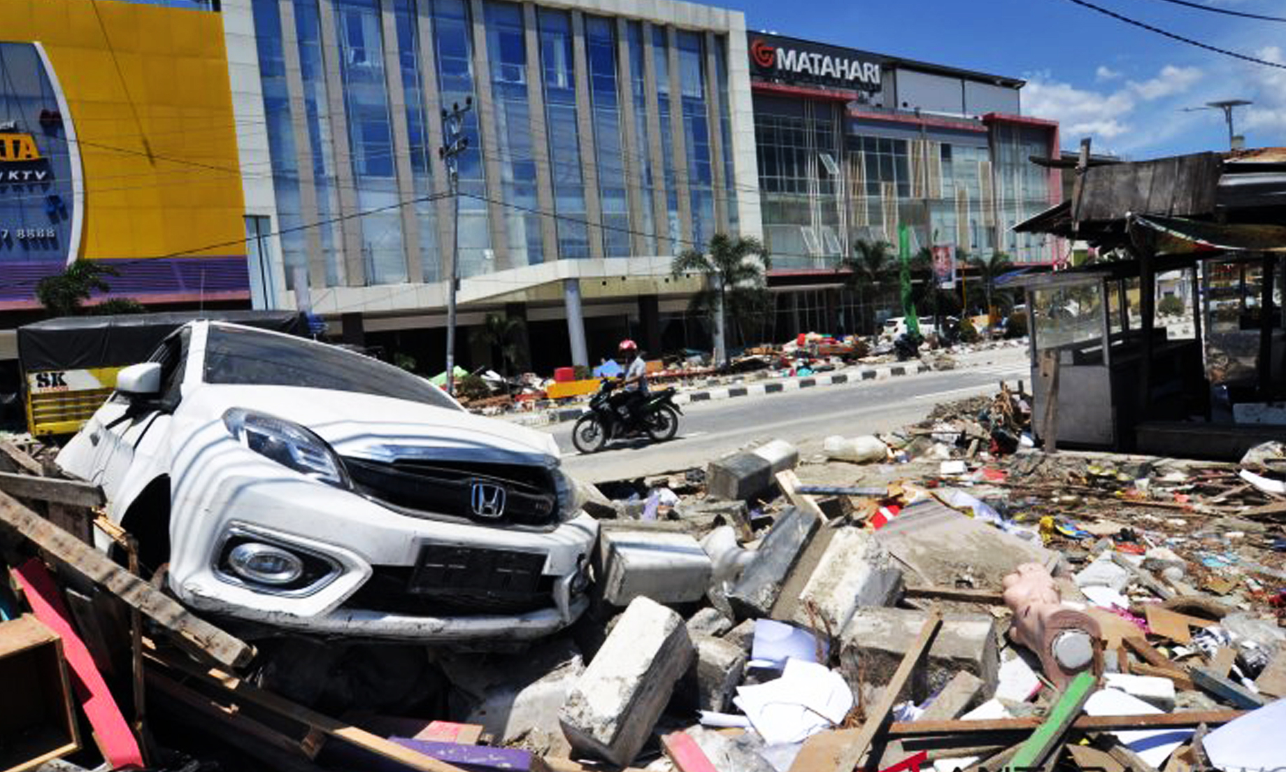
Banda Aceh, Aceh Darussalam, April 14 – (NNN- ANTARA) – An earthquake measuring 5.2 on the Richter Scale jolted Sabang City, Aceh Province, on Saturday at 11:12 p.m. local time, but it did not have potential to trigger a tsunami.
The quake’s epicenter was located at 7.35 degree northern latitude and 94.68 degree eastern longitude, some 176 kilometers northwest of Sabang, and at a depth of 10 kilometers below sea level, according to information from the Mata I’e geophysics station in Banda Aceh, here on Sunday.
On April 1, 2019, the Meteorology, Climatology, and Geophysics Agency (BMKG) reported that a flock of 15 minor-intensity earthquakes struck Sabang City on Weh Island which is located in Indonesia’s western most province.
“Sabang was hit by a series of 15 earthquakes on Monday morning, though the local residents do not feel the tremors,” Head of the Jakarta-based BMKG Daryono stated early this month.
The first earthquake that hit at around 6:46 a.m. local time measured 5.2 on the Richter scale, but it did not have the potential to trigger a tsunami. Another quake struck the city some two hours thereafter.
The second quake to rock the city at about 8:23 a.m. local time measured 5.4 R.
Daryono stated that the magnitudes of the aftershocks that hit Sabang, one of Aceh’s popular tourist destinations, were less powerful as compared to those of the first and second earthquakes and did not trigger a tsunami.
Indonesia is located on the Circum-Pacific Belt, also called the Ring of Fire, the meeting points of several tectonic plates and resulting in recurrent volcanic and seismic activities.


