

LIMA, Sept 27 (NNN-ANDINA) — President Pedro Castillo on Monday raised the urgent need for Peru to have a national disaster risk map, which contains information and allows identifying the infrastructure that collapsed in all sectors across the country, so that the State can rapidly intervene.
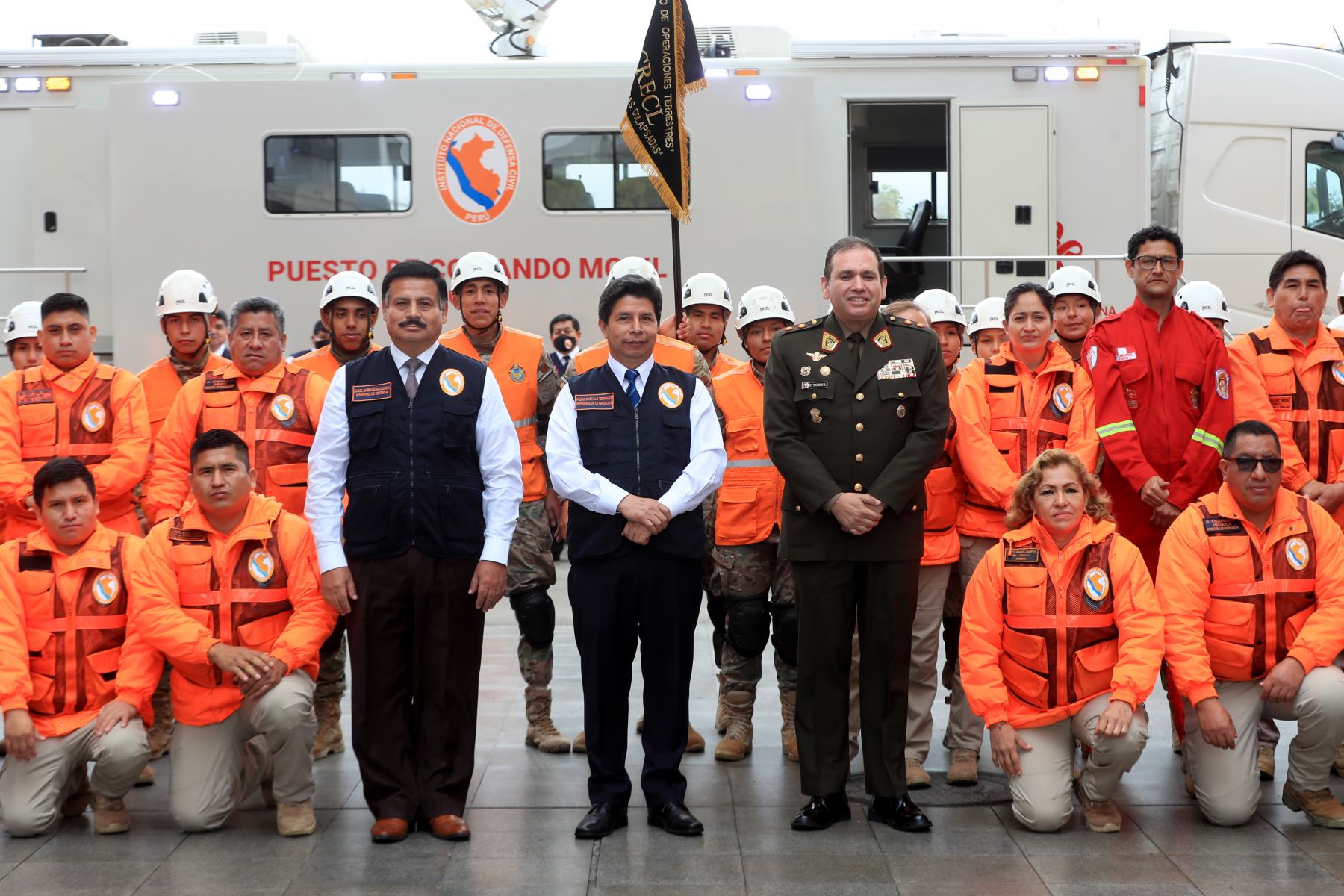
“Peru needs to have a national disaster risk map, to get to know the different spaces and different infrastructures at the national level, how many hospitals have collapsed, how many schools have collapsed, how many bridges are to be restored and how many are impassable,” Castillo said at the headquarters of the National Emergency Operations Center (COEN).
The remarks were made during his participation in the first forum “Challenges of disaster risk management in Peru, to achieve an inclusive and better prepared country,” held within the framework of the 35th anniversary of the National Civil Defense Institute (Indeci).
“Congratulations to Indeci on the anniversary of its creation through Legislative Decree No. 442 in 1987,” he stated.
“The institution plays an important role in the implementation of practice drills to tackle emergencies across the country,” he added.
Castillo affirmed that the contributions raised at the forum will be conveyed to the Council of Ministers so that they can be addressed and the necessary budget can be provided.
To do so, the necessary coordination will be carried out with the Ministry of Defense (Mindef).
The aim of the event was to provide a platform for technical debate in order to strengthen the three processes of disaster risk management through the presentation and participation of experts, technicians, and the general public. — NNN-ANDINA