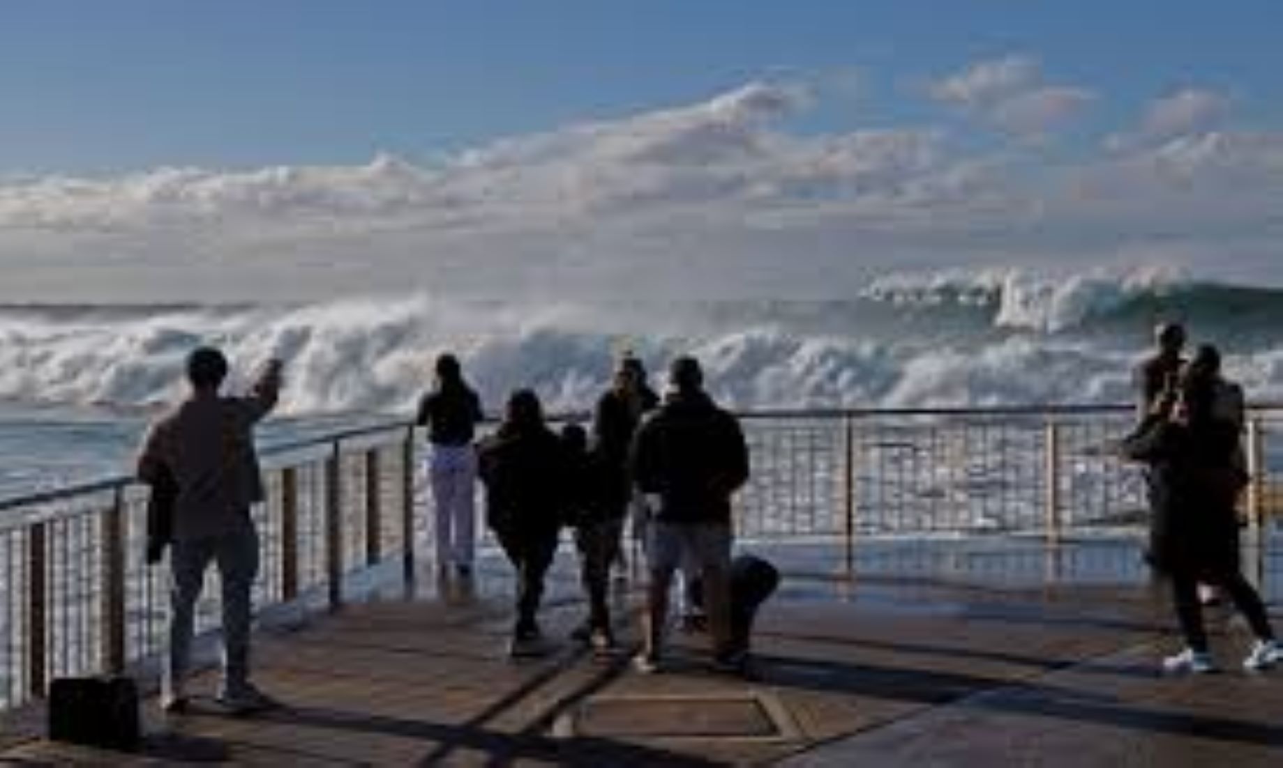
SYDNEY, Jul 21 (NNN-AGENCIES) – The unpredictable stormy conditions that have plagued much of Australia’s east coast throughout a record-breaking cold snap, are expected to continue throughout the coming days.
The Bureau of Meteorology (BoM) issued warnings of powerful winds and destructive waves hitting the coastal regions of south-east Queensland and northern New South Wales (NSW), as a low-pressure system looms offshore.
The gale-force winds and pounding surf are likely to intensify by tomorrow, and continue throughout the weekend with the BoM predicting they could cause extensive coastal erosion.
The blustery conditions were already being felt this morning, with local news Nine News reporting that, gusts of 65 km/h had been recorded at the Gold Coast Seaway in Queensland.
Meanwhile, a frigid air mass, associated with a high-pressure system, is sitting over much of the nation’s south-east, with clear skies and light winds bringing a run of extreme cold mornings to Victoria, inland NSW and the island state of Tasmania.
Amid the driving winds and chilly temperatures, the rain that has drenched much of the nation’s east is also forecast to continue.
Meteorologist, Felim Hanniffy, told national broadcaster, ABC yesterday that, parts of Queensland could be hit with thunderstorms today.
“We could broadly see falls of 10 to 30 millimetres through south-east Queensland, with some local falls of 20 to 50 millimetres possible,” Hanniffy said.
“July’s rainfall averages anywhere from 20 to 30 millimetres, so some of these areas could easily see a month’s worth of rain over that 24-hour period today.”
The Weatherzone website warned that, there may not be an end in sight to the drenching rain.
New modelling reported by Weatherzone yesterday, indicated that Australia was stuck between two wet weather drivers, an imminent negative Indian Ocean Dipole (IOD), and another La Nina, which was first declared by the BoM last Nov.
“Like the negative IOD, La Nina increases the likelihood of above average rainfall over large areas of Australia,” Weatherzone reported.
“When they both occur at the same time, virtually all of Australia can expect to see more rain than usual.”– NNN-AGENCIES


